The Cotswold Way
Introduction
The photograph on this page of The Cotswold Way by Dr Duncan Pepper as part of the Geograph project.
The Geograph project started in 2005 with the aim of publishing, organising and preserving representative images for every square kilometre of Great Britain, Ireland and the Isle of Man.

There are currently over 7.5m images from over 14,400 individuals and you can help contribute to the project by visiting https://www.geograph.org.uk
The Cotswold Way
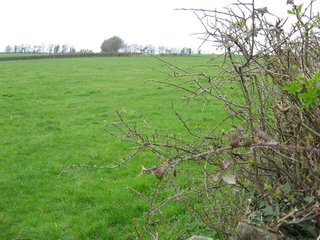
Image: © Dr Duncan Pepper Taken: 14 Apr 2010
Evidently this section has seen very little footfall.
Images are licensed for reuse under creativecommons.org/licenses/by-sa/2.0
Image Location
Latitude
51.447994
Longitude
-2.378835