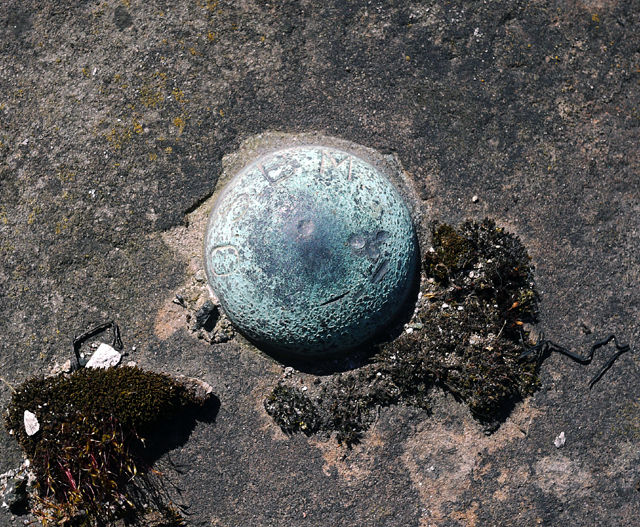
Bench Mark, Belfast
Introduction
The photograph on this page of Bench Mark, Belfast by Rossographer as part of the Geograph project.
The Geograph project started in 2005 with the aim of publishing, organising and preserving representative images for every square kilometre of Great Britain, Ireland and the Isle of Man.
There are currently over 7.5m images from over 14,400 individuals and you can help contribute to the project by visiting https://www.geograph.org.uk

Image: © Rossographer Taken: 14 Apr 2010
A brass bolt bench mark, it is located approximately 1 metre to the south-east of the lock gates to Clarendon Dry Dock No.2 Image It is marked "OS BM". The mark is 2.51 metres above MSL. See also http://www.geograph.org.uk/search.php?i=11037856 for many other examples I have found. This mark is important in the history of geodetic levelling by the Ordnance Survey Northern Ireland. Prior to a new geodetic levelling of Northern Ireland in 1957, all levels in Ireland, north and south, related to Poolbeg Datum. The completion of the 1950s levelling necessitated a new vertical datum for N.Ireland. Thus, the establishment of a new Mean Sea Level (MSL) for Belfast was created through a lengthy series of tidal observations made at Belfast by the Harbour Board between 1951-56 and this data was shared with OSNI. A tidal gauge at Clarendon Dock was used for the observations; the relationship between the levels on the gauge and a Fundamental Bench Mark at the Grove Playing Fields in Belfast was established via this bolt on the dockside. Thus all levelling data produced on large scale maps by OSNI since the 1960s give height above MSL Belfast (smaller scale maps, such as the 1:50,000 series, refer to MSL Malin in order to ensure compatability throughout Ireland). The information above is taken from sources produced by OSNI (previouisly available online but since deleted).

