Benchmark on Railway Bridge, Banbury Road, Bicester
Introduction
The photograph on this page of Benchmark on Railway Bridge, Banbury Road, Bicester by Roger Templeman as part of the Geograph project.
The Geograph project started in 2005 with the aim of publishing, organising and preserving representative images for every square kilometre of Great Britain, Ireland and the Isle of Man.

There are currently over 7.5m images from over 14,400 individuals and you can help contribute to the project by visiting https://www.geograph.org.uk
Benchmark on Railway Bridge, Banbury Road, Bicester
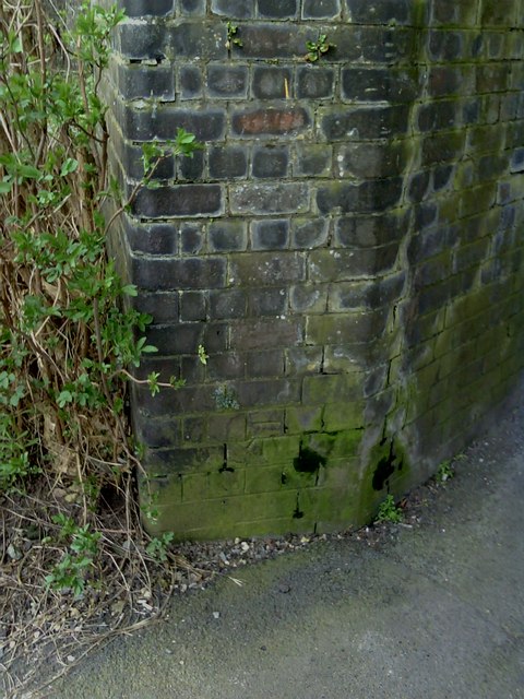
Image: © Roger Templeman Taken: 12 Apr 2010
1970 Ordnance Survey cut mark benchmark on buttress of railway bridge across Banbury Road, Bicester. See http://www.bench-marks.org.uk/bm33943 for details.
Images are licensed for reuse under creativecommons.org/licenses/by-sa/2.0
Image Location
Latitude
51.905112
Longitude
-1.154568