Withernwick Hall
Introduction
The photograph on this page of Withernwick Hall by Martin Dawes as part of the Geograph project.
The Geograph project started in 2005 with the aim of publishing, organising and preserving representative images for every square kilometre of Great Britain, Ireland and the Isle of Man.

There are currently over 7.5m images from over 14,400 individuals and you can help contribute to the project by visiting https://www.geograph.org.uk
Withernwick Hall
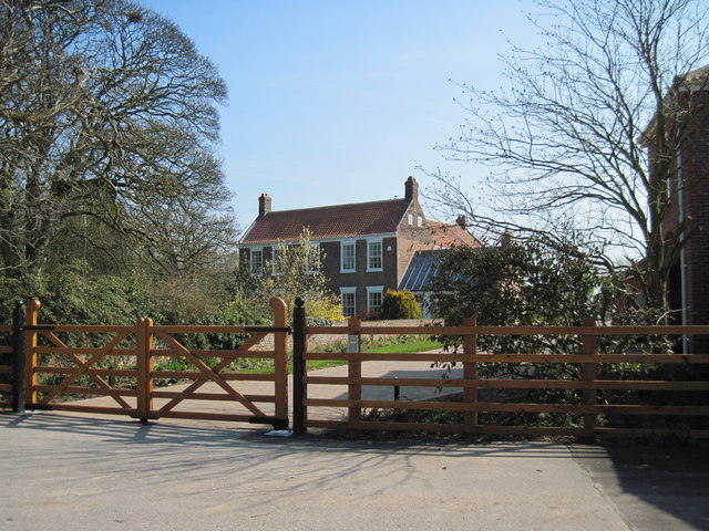
Image: © Martin Dawes Taken: 10 Apr 2009
An 18th Century L shaped farmhouse formerly known as North End House.Withernwick still has a North End and a South End.
Images are licensed for reuse under creativecommons.org/licenses/by-sa/2.0
Image Location
Latitude
53.85217
Longitude
-0.182242