High Borland
Introduction
The photograph on this page of High Borland by Kenneth Mallard as part of the Geograph project.
The Geograph project started in 2005 with the aim of publishing, organising and preserving representative images for every square kilometre of Great Britain, Ireland and the Isle of Man.

There are currently over 7.5m images from over 14,400 individuals and you can help contribute to the project by visiting https://www.geograph.org.uk
High Borland
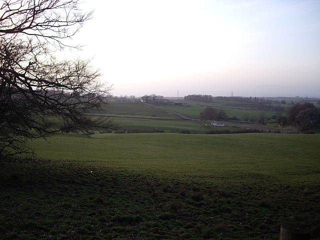
Image: © Kenneth Mallard Taken: 13 Apr 2010
Looking across High Borland Farm from Topfaulds Plantation. Crosslees Farm which can be seen in the distance is situated on the site of a Bronze Age cairn which survives albeit in a much reduced state.
Images are licensed for reuse under creativecommons.org/licenses/by-sa/2.0
Image Location
Latitude
55.748306
Longitude
-4.288391