Chapel House
Introduction
The photograph on this page of Chapel House by David Anstiss as part of the Geograph project.
The Geograph project started in 2005 with the aim of publishing, organising and preserving representative images for every square kilometre of Great Britain, Ireland and the Isle of Man.

There are currently over 7.5m images from over 14,400 individuals and you can help contribute to the project by visiting https://www.geograph.org.uk
Chapel House
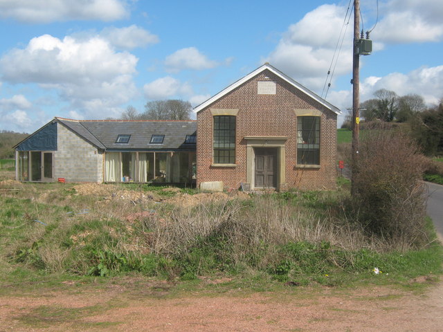
Image: © David Anstiss Taken: 11 Apr 2010
Converted Methodist Chapel on The Street. Above the door is engraved stone which reads 'Primitive Methodist Chapel 1865'. On the lefthand side is a foundation stone dated 1863.
Images are licensed for reuse under creativecommons.org/licenses/by-sa/2.0
Image Location
Latitude
51.228539
Longitude
1.048062