Cheeseman's Green: Bridgefield development
Introduction
The photograph on this page of Cheeseman's Green: Bridgefield development by John Baker as part of the Geograph project.
The Geograph project started in 2005 with the aim of publishing, organising and preserving representative images for every square kilometre of Great Britain, Ireland and the Isle of Man.

There are currently over 7.5m images from over 14,400 individuals and you can help contribute to the project by visiting https://www.geograph.org.uk
Cheeseman's Green: Bridgefield development
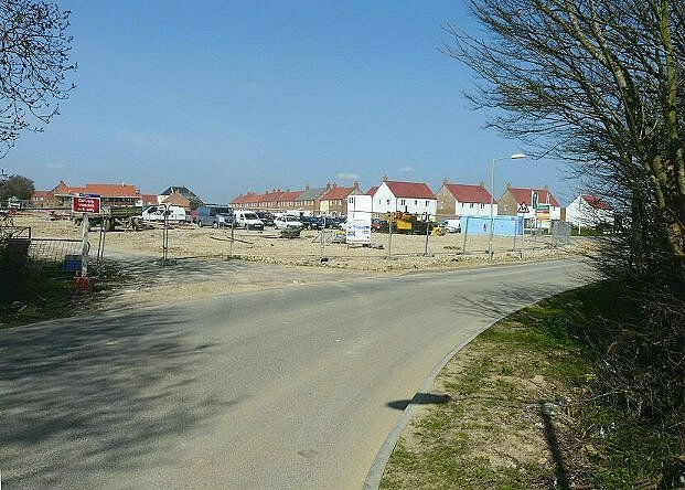
Image: © John Baker Taken: 12 Apr 2010
Planning permission has been granted by Ashford Borough Council under application number 02/00278/AS for "1100 dwellings and 70,000 square metres of business floorspace together with mixed-use community facilities, access roads, footpaths, cycle routes, landscaping & public open space".
Images are licensed for reuse under creativecommons.org/licenses/by-sa/2.0
Image Location
Latitude
51.111235
Longitude
0.88201