Fields near Gwarcaeau farm
Introduction
The photograph on this page of Fields near Gwarcaeau farm by Nigel Brown as part of the Geograph project.
The Geograph project started in 2005 with the aim of publishing, organising and preserving representative images for every square kilometre of Great Britain, Ireland and the Isle of Man.

There are currently over 7.5m images from over 14,400 individuals and you can help contribute to the project by visiting https://www.geograph.org.uk
Fields near Gwarcaeau farm
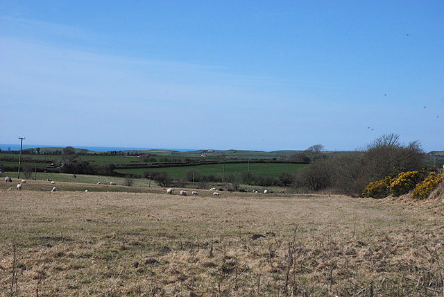
Image: © Nigel Brown Taken: 13 Apr 2010
A harsh winter combined with grazing needs has left some land looking brown and worn.
Images are licensed for reuse under creativecommons.org/licenses/by-sa/2.0
Image Location
Latitude
52.320764
Longitude
-4.078831