Lambs Cross
Introduction
The photograph on this page of Lambs Cross by Simon Carey as part of the Geograph project.
The Geograph project started in 2005 with the aim of publishing, organising and preserving representative images for every square kilometre of Great Britain, Ireland and the Isle of Man.

There are currently over 7.5m images from over 14,400 individuals and you can help contribute to the project by visiting https://www.geograph.org.uk
Lambs Cross
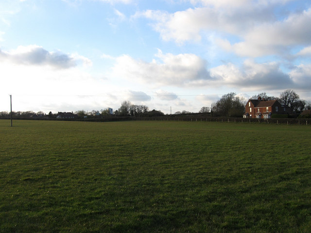
Image: © Simon Carey Taken: 11 Apr 2010
The name of this section of the field according to the 1844 tithe map which has been expanded to include Salters Field and Gate Field to the west. The buildings beyond the hedge to the right are Red House Cottages.
Images are licensed for reuse under creativecommons.org/licenses/by-sa/2.0
Image Location
Latitude
50.870336
Longitude
0.26771