St Faith's Hall, Thanington Without
Introduction
The photograph on this page of St Faith's Hall, Thanington Without by David Anstiss as part of the Geograph project.
The Geograph project started in 2005 with the aim of publishing, organising and preserving representative images for every square kilometre of Great Britain, Ireland and the Isle of Man.

There are currently over 7.5m images from over 14,400 individuals and you can help contribute to the project by visiting https://www.geograph.org.uk
St Faith's Hall, Thanington Without
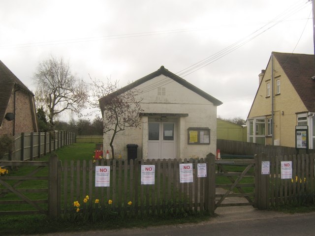
Image: © David Anstiss Taken: 11 Apr 2010
On New House Lane. Base of various village activities. Currently campaigning against expansion of South Canterbury. This is plans by Canterbury City Council including plans for 2000 homes south of the city.... See http://www.hilltopca.co.uk/for more details about the hall.
Images are licensed for reuse under creativecommons.org/licenses/by-sa/2.0
Image Location
Latitude
51.258773
Longitude
1.064827