2010 : B4039 near Lanhill Farm
Introduction
The photograph on this page of 2010 : B4039 near Lanhill Farm by Maurice Pullin as part of the Geograph project.
The Geograph project started in 2005 with the aim of publishing, organising and preserving representative images for every square kilometre of Great Britain, Ireland and the Isle of Man.

There are currently over 7.5m images from over 14,400 individuals and you can help contribute to the project by visiting https://www.geograph.org.uk
2010 : B4039 near Lanhill Farm
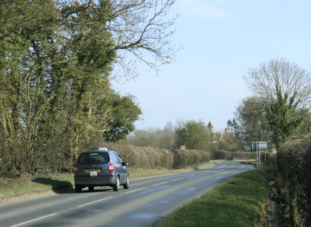
Image: © Maurice Pullin Taken: 16 Mar 2010
The A420 is about half a mile ahead where the B4039 comes to an end.
Images are licensed for reuse under creativecommons.org/licenses/by-sa/2.0
Image Location
Latitude
51.475629
Longitude
-2.175469