Ambrose Corner, Lower Buckland, Hampshire
Introduction
The photograph on this page of Ambrose Corner, Lower Buckland, Hampshire by Peter Trimming as part of the Geograph project.
The Geograph project started in 2005 with the aim of publishing, organising and preserving representative images for every square kilometre of Great Britain, Ireland and the Isle of Man.

There are currently over 7.5m images from over 14,400 individuals and you can help contribute to the project by visiting https://www.geograph.org.uk
Ambrose Corner, Lower Buckland, Hampshire
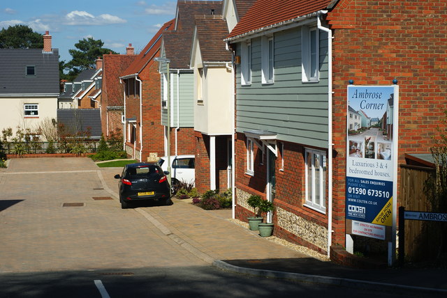
Image: © Peter Trimming Taken: 8 Apr 2010
A new housing development, off Marsh Lane. So new, that the road does not appear on the map (April 2010).
Images are licensed for reuse under creativecommons.org/licenses/by-sa/2.0
Image Location
Latitude
50.768484
Longitude
-1.551424