Miles of pylons
Introduction
The photograph on this page of Miles of pylons by Kate Jewell as part of the Geograph project.
The Geograph project started in 2005 with the aim of publishing, organising and preserving representative images for every square kilometre of Great Britain, Ireland and the Isle of Man.

There are currently over 7.5m images from over 14,400 individuals and you can help contribute to the project by visiting https://www.geograph.org.uk
Miles of pylons
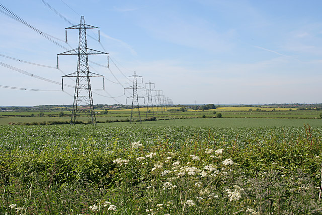
Image: © Kate Jewell Taken: 3 Jun 2006
Looking north west from Bottesford Road. The square boundary is just beyond the fourth pylon. This electricity supply line comes from Cottam Power Station in Image, one of the many power stations along the River Trent ( http://www.edfenergy.com/html/showPage.do?name=edfenergy.about.energy.cottam.til for information).
Images are licensed for reuse under creativecommons.org/licenses/by-sa/2.0
Image Location
Latitude
52.954331
Longitude
-0.743664