Mearns Kirk Bolt
Introduction
The photograph on this page of Mearns Kirk Bolt by Ian Charters as part of the Geograph project.
The Geograph project started in 2005 with the aim of publishing, organising and preserving representative images for every square kilometre of Great Britain, Ireland and the Isle of Man.

There are currently over 7.5m images from over 14,400 individuals and you can help contribute to the project by visiting https://www.geograph.org.uk
Mearns Kirk Bolt
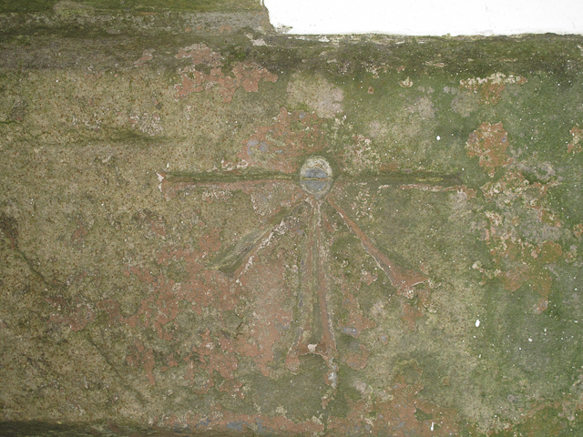
Image: © Ian Charters Taken: 17 Jan 2010
1GL Bolt: Mearns, Church Newton Mearns Parish Church. Bolt in East face of tower ; 2.06 ft. above surface [1GL, Stranraer to Glasgow, Branch Levelling from Mark No, 219(c)]; P A BOLT BUTT S FACE MEARNS KIRK E FACE BUTT (143.4284m ODN, 0.7m AGL) First Primary Levelling, Scotland (1844-60) This bench mark was used during the First primary levelling, Scotland, and was levelled with a height of 469.9530 feet [143.2417 metres] above mean sea level (Liverpool datum). It was included as a side level on the Stranraer to Glasgow levelling line. The surveyor's description was Newton Mearns Parish Church. Bolt in East face of tower ; 2.06 ft. above surface. See http://www.bench-marks.org.uk/bm28304
Images are licensed for reuse under creativecommons.org/licenses/by-sa/2.0
Image Location
Latitude
55.766672
Longitude
-4.325018