Grantham Canal at Gamston
Introduction
The photograph on this page of Grantham Canal at Gamston by Kate Jewell as part of the Geograph project.
The Geograph project started in 2005 with the aim of publishing, organising and preserving representative images for every square kilometre of Great Britain, Ireland and the Isle of Man.

There are currently over 7.5m images from over 14,400 individuals and you can help contribute to the project by visiting https://www.geograph.org.uk
Grantham Canal at Gamston
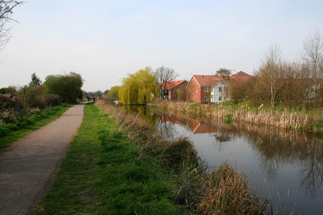
Image: © Kate Jewell Taken: 10 Apr 2010
Forming the boundary between West Bridgford (on the left) and Gamston (on the right), this disused canal has become an important recreational resource even though it is no longer navigable.
Images are licensed for reuse under creativecommons.org/licenses/by-sa/2.0
Image Location
Latitude
52.928511
Longitude
-1.109779