Foel Farm farmhouse
Introduction
The photograph on this page of Foel Farm farmhouse by John Haynes as part of the Geograph project.
The Geograph project started in 2005 with the aim of publishing, organising and preserving representative images for every square kilometre of Great Britain, Ireland and the Isle of Man.

There are currently over 7.5m images from over 14,400 individuals and you can help contribute to the project by visiting https://www.geograph.org.uk
Foel Farm farmhouse
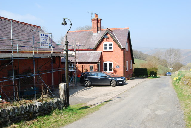
Image: © John Haynes Taken: 12 Apr 2010
A brick built farmhouse, the red bricks are a mix of 3.125 & 3.25 inches red bricks from J C Edwards Ruabon Road brickworks in Trevor. The house and barn were built in 1888.
Images are licensed for reuse under creativecommons.org/licenses/by-sa/2.0
Image Location
Latitude
52.971717
Longitude
-3.191235