The King's Arms Stratton
Introduction
The photograph on this page of The King's Arms Stratton by Rod Allday as part of the Geograph project.
The Geograph project started in 2005 with the aim of publishing, organising and preserving representative images for every square kilometre of Great Britain, Ireland and the Isle of Man.

There are currently over 7.5m images from over 14,400 individuals and you can help contribute to the project by visiting https://www.geograph.org.uk
The King's Arms Stratton
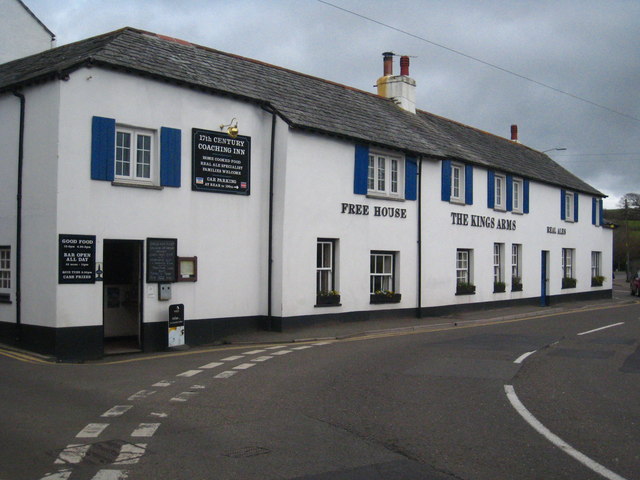
Image: © Rod Allday Taken: 3 Apr 2010
A C17th coaching inn.
Images are licensed for reuse under creativecommons.org/licenses/by-sa/2.0
Image Location
Latitude
50.829648
Longitude
-4.514583