Tudor Cottage Stratton
Introduction
The photograph on this page of Tudor Cottage Stratton by Rod Allday as part of the Geograph project.
The Geograph project started in 2005 with the aim of publishing, organising and preserving representative images for every square kilometre of Great Britain, Ireland and the Isle of Man.

There are currently over 7.5m images from over 14,400 individuals and you can help contribute to the project by visiting https://www.geograph.org.uk
Tudor Cottage Stratton
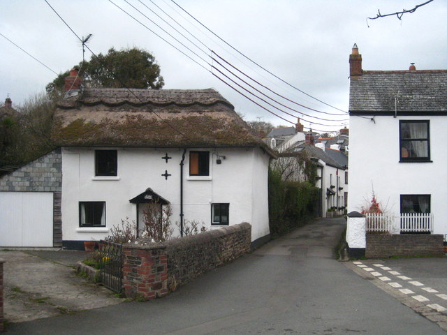
Image: © Rod Allday Taken: 3 Apr 2010
An C18th listed building in Spicers Lane.
Images are licensed for reuse under creativecommons.org/licenses/by-sa/2.0
Image Location
Latitude
50.82949
Longitude
-4.513581