The Annadale allotments, Belfast
Introduction
The photograph on this page of The Annadale allotments, Belfast by Albert Bridge as part of the Geograph project.
The Geograph project started in 2005 with the aim of publishing, organising and preserving representative images for every square kilometre of Great Britain, Ireland and the Isle of Man.

There are currently over 7.5m images from over 14,400 individuals and you can help contribute to the project by visiting https://www.geograph.org.uk
The Annadale allotments, Belfast
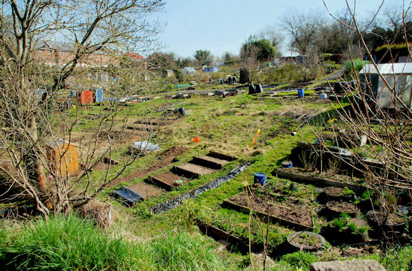
Image: © Albert Bridge Taken: 12 Apr 2010
Beside of the Annadale Embankment and Annadale Avenue. One of four sites operated by Belfast City Council.
Images are licensed for reuse under creativecommons.org/licenses/by-sa/2.0
Image Location
Latitude
54.569074
Longitude
-5.922845