Approaching Meadowhead
Introduction
The photograph on this page of Approaching Meadowhead by Texas Radio and The Big Beat as part of the Geograph project.
The Geograph project started in 2005 with the aim of publishing, organising and preserving representative images for every square kilometre of Great Britain, Ireland and the Isle of Man.

There are currently over 7.5m images from over 14,400 individuals and you can help contribute to the project by visiting https://www.geograph.org.uk
Approaching Meadowhead
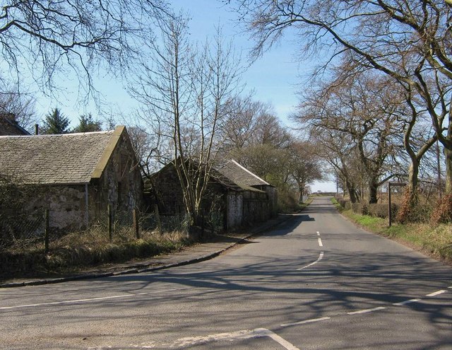
Image: © Texas Radio and The Big Beat Taken: 11 Apr 2010
Meadowhead is on the left. The sign on the right is for Drumshangie Woodland Walk. There really isn't much to photograph in this grid square unless you like former opencast mines and housing estates.
Images are licensed for reuse under creativecommons.org/licenses/by-sa/2.0
Image Location
Latitude
55.882504
Longitude
-3.942607