Branch in Restricted Byway
Introduction
The photograph on this page of Branch in Restricted Byway by Dave Spicer as part of the Geograph project.
The Geograph project started in 2005 with the aim of publishing, organising and preserving representative images for every square kilometre of Great Britain, Ireland and the Isle of Man.

There are currently over 7.5m images from over 14,400 individuals and you can help contribute to the project by visiting https://www.geograph.org.uk
Branch in Restricted Byway
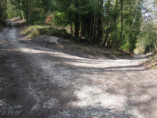
Image: © Dave Spicer Taken: 10 Apr 2010
The lefthand byway climbs up Woolavington Down to meet the South Downs Way. While to the right the byway follows the base of the escarpment to connect with the public road at Graffham Church.
Images are licensed for reuse under creativecommons.org/licenses/by-sa/2.0
Image Location
Latitude
50.937344
Longitude
-0.657456