Site of former Matthew Murray School
Introduction
The photograph on this page of Site of former Matthew Murray School by Richard Kay as part of the Geograph project.
The Geograph project started in 2005 with the aim of publishing, organising and preserving representative images for every square kilometre of Great Britain, Ireland and the Isle of Man.

There are currently over 7.5m images from over 14,400 individuals and you can help contribute to the project by visiting https://www.geograph.org.uk
Site of former Matthew Murray School
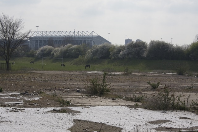
Image: © Richard Kay Taken: 12 Apr 2010
The school, now demolished, gave its name to the nearby tunnel Image The outline of the east wall of the tunnel, which is covered in an earth mound, can be seen behind the horses. Elland Road Football stadium can be seen in the background.
Images are licensed for reuse under creativecommons.org/licenses/by-sa/2.0
Image Location
Latitude
53.782916
Longitude
-1.567436