Taxi jam, Pepper Lane
Introduction
The photograph on this page of Taxi jam, Pepper Lane by Robin Stott as part of the Geograph project.
The Geograph project started in 2005 with the aim of publishing, organising and preserving representative images for every square kilometre of Great Britain, Ireland and the Isle of Man.

There are currently over 7.5m images from over 14,400 individuals and you can help contribute to the project by visiting https://www.geograph.org.uk
Taxi jam, Pepper Lane
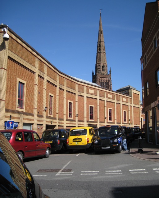
Image: © Robin Stott Taken: 8 Apr 2010
Looking across the Broadgate-High Street junction to the back of the Cathedral Lanes shopping centre towards the spire of Holy Trinity. Pepper Lane appears to have been designated as a temporary taxi rank because of a road closure nearby.
Images are licensed for reuse under creativecommons.org/licenses/by-sa/2.0
Image Location


Leaflet Map data © OpenStreetMap
Latitude
52.40754
Longitude
-1.509858