Mill Road
Introduction
The photograph on this page of Mill Road by Simon Carey as part of the Geograph project.
The Geograph project started in 2005 with the aim of publishing, organising and preserving representative images for every square kilometre of Great Britain, Ireland and the Isle of Man.

There are currently over 7.5m images from over 14,400 individuals and you can help contribute to the project by visiting https://www.geograph.org.uk
Mill Road
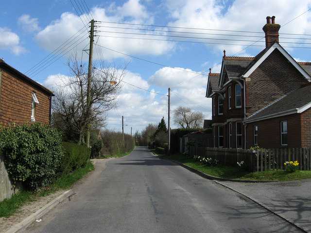
Image: © Simon Carey Taken: 11 Apr 2010
The road heads south east out of Hailsham towards White Dyke. The building on the right is Hamlins Villa.
Images are licensed for reuse under creativecommons.org/licenses/by-sa/2.0
Image Location
Latitude
50.85778
Longitude
0.270511