Marshfoot Lane
Introduction
The photograph on this page of Marshfoot Lane by Simon Carey as part of the Geograph project.
The Geograph project started in 2005 with the aim of publishing, organising and preserving representative images for every square kilometre of Great Britain, Ireland and the Isle of Man.

There are currently over 7.5m images from over 14,400 individuals and you can help contribute to the project by visiting https://www.geograph.org.uk
Marshfoot Lane
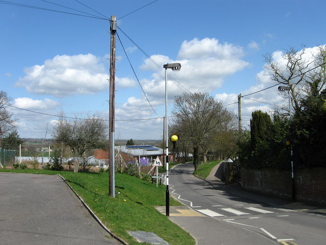
Image: © Simon Carey Taken: 11 Apr 2010
Taken from the junction of that lane with Vicarage Road and Vicarage Lane. The lane is the western end of an old drove road that crosses the Pevensey Levels from New Bridge.
Images are licensed for reuse under creativecommons.org/licenses/by-sa/2.0
Image Location
Latitude
50.863876
Longitude
0.26228