Southern end of Bottom Flash, Winsford
Introduction
The photograph on this page of Southern end of Bottom Flash, Winsford by Ian Warburton as part of the Geograph project.
The Geograph project started in 2005 with the aim of publishing, organising and preserving representative images for every square kilometre of Great Britain, Ireland and the Isle of Man.

There are currently over 7.5m images from over 14,400 individuals and you can help contribute to the project by visiting https://www.geograph.org.uk
Southern end of Bottom Flash, Winsford
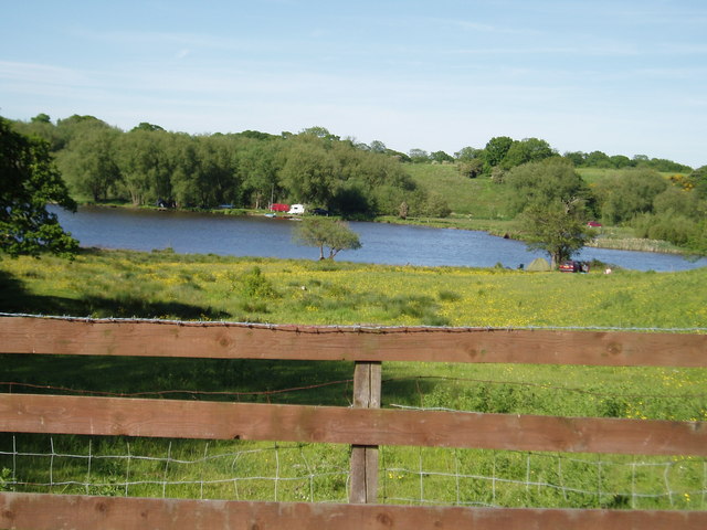
Image: © Ian Warburton Taken: 3 Jun 2006
Taken from Weaver Dairy House. The river Weaver flows into the flash from the right.
Images are licensed for reuse under creativecommons.org/licenses/by-sa/2.0
Image Location
Latitude
53.179396
Longitude
-2.508207