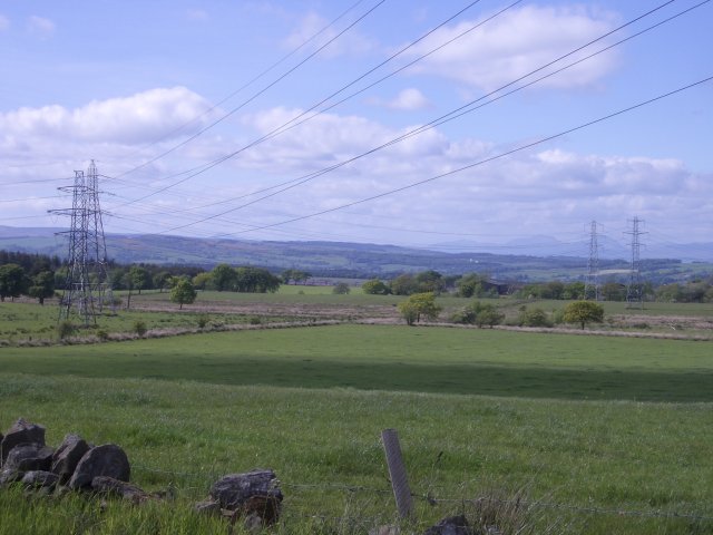
Pylon convergence
Introduction
The photograph on this page of Pylon convergence by Callum Black as part of the Geograph project.
The Geograph project started in 2005 with the aim of publishing, organising and preserving representative images for every square kilometre of Great Britain, Ireland and the Isle of Man.
There are currently over 7.5m images from over 14,400 individuals and you can help contribute to the project by visiting https://www.geograph.org.uk

Image: © Callum Black Taken: 3 Jun 2006
Pylons from the southwest and southeast converge here and march north together. The 1940s map shows one set of pylons crossing the square but to the north of Greenrig. The hills beyond the further away pylons are Stuc a Chroin and Ben Vorlich.

