Clayton Bridge Viaduct
Introduction
The photograph on this page of Clayton Bridge Viaduct by David Dixon as part of the Geograph project.
The Geograph project started in 2005 with the aim of publishing, organising and preserving representative images for every square kilometre of Great Britain, Ireland and the Isle of Man.

There are currently over 7.5m images from over 14,400 individuals and you can help contribute to the project by visiting https://www.geograph.org.uk
Clayton Bridge Viaduct
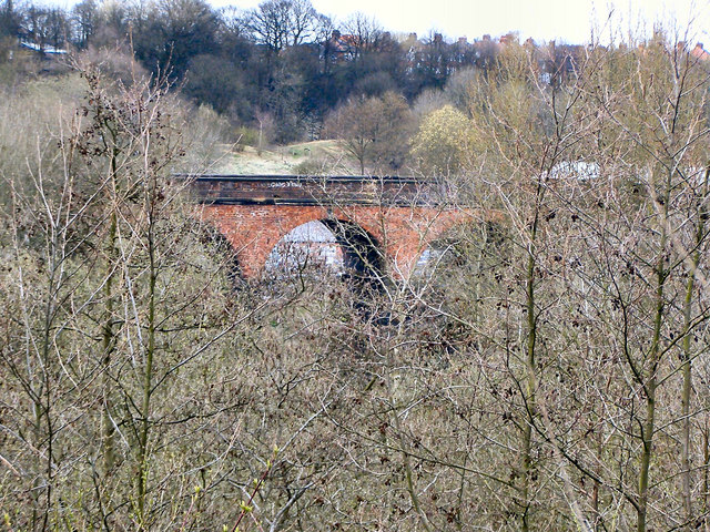
Image: © David Dixon Taken: 9 Apr 2010
Just visible through the trees of Medlock Vale, the railway viaduct will soon be hidden from view once the trees are in full leaf.
Images are licensed for reuse under creativecommons.org/licenses/by-sa/2.0
Image Location
Latitude
53.492752
Longitude
-2.162956