A177 In Springtime
Introduction
The photograph on this page of A177 In Springtime by Peter Edwards as part of the Geograph project.
The Geograph project started in 2005 with the aim of publishing, organising and preserving representative images for every square kilometre of Great Britain, Ireland and the Isle of Man.

There are currently over 7.5m images from over 14,400 individuals and you can help contribute to the project by visiting https://www.geograph.org.uk
A177 In Springtime
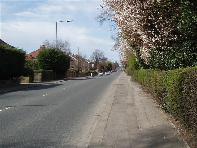
Image: © Peter Edwards Taken: 11 Apr 2010
This part of the A177 road was built about 1830 (proposed route on a 1828 map). It is a straight road of 3.5 miles from Stockton to Thorpe Thewles, which would have improved access to Sedgefield, and to Lord Londondery's estate at Wynyard.
Images are licensed for reuse under creativecommons.org/licenses/by-sa/2.0
Image Location
Latitude
54.579497
Longitude
-1.334716