Rosedale House, Brislington
Introduction
The photograph on this page of Rosedale House, Brislington by Derek Harper as part of the Geograph project.
The Geograph project started in 2005 with the aim of publishing, organising and preserving representative images for every square kilometre of Great Britain, Ireland and the Isle of Man.

There are currently over 7.5m images from over 14,400 individuals and you can help contribute to the project by visiting https://www.geograph.org.uk
Rosedale House, Brislington
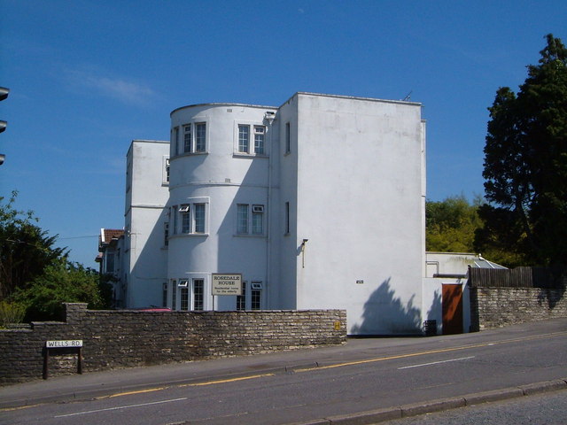
Image: © Derek Harper Taken: 3 Jun 2006
This distinctive residential home is at the crossroads of West Town Lane with the Wells Road near Bear's Bridge south of Knowle.
Images are licensed for reuse under creativecommons.org/licenses/by-sa/2.0
Image Location


Leaflet Map data © OpenStreetMap
Latitude
51.42585
Longitude
-2.56376