Westway above the waterway
Introduction
The photograph on this page of Westway above the waterway by Natasha Ceridwen de Chroustchoff as part of the Geograph project.
The Geograph project started in 2005 with the aim of publishing, organising and preserving representative images for every square kilometre of Great Britain, Ireland and the Isle of Man.

There are currently over 7.5m images from over 14,400 individuals and you can help contribute to the project by visiting https://www.geograph.org.uk
Westway above the waterway
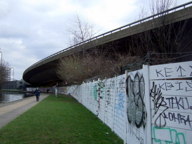
Image: © Natasha Ceridwen de Chroustchoff Taken: 14 Mar 2010
The elevated arc of Westway skimming the edge of the Paddington Arm of the Grand Union Canal. When the canal was opened in 1801 for horse-drawn boats the pace of traffic travelling along Westway (built on the 1960s) could hardly have been envisaged.
Images are licensed for reuse under creativecommons.org/licenses/by-sa/2.0
Image Location
Latitude
51.521906
Longitude
-0.19854