Former railway line at Stockwood
Introduction
The photograph on this page of Former railway line at Stockwood by Derek Harper as part of the Geograph project.
The Geograph project started in 2005 with the aim of publishing, organising and preserving representative images for every square kilometre of Great Britain, Ireland and the Isle of Man.

There are currently over 7.5m images from over 14,400 individuals and you can help contribute to the project by visiting https://www.geograph.org.uk
Former railway line at Stockwood
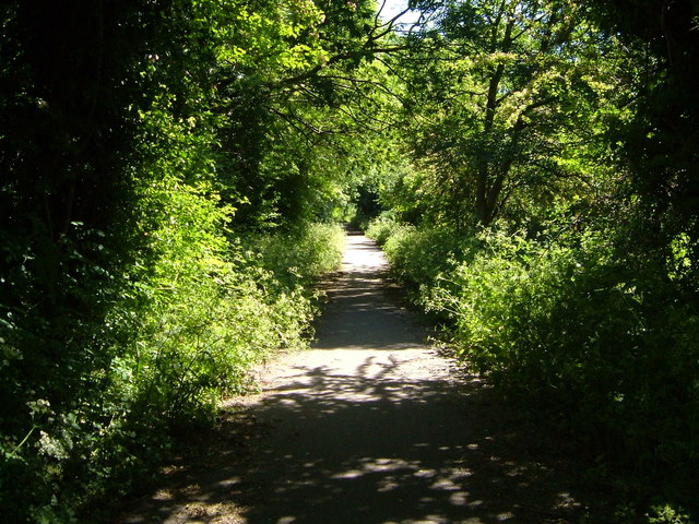
Image: © Derek Harper Taken: 3 Jun 2006
Now part of National Cycle Network path 3, this stretch of former railway line runs parallel to Sturminster Road.
Images are licensed for reuse under creativecommons.org/licenses/by-sa/2.0
Image Location
Latitude
51.421388
Longitude
-2.556514