Saugh House
Introduction
The photograph on this page of Saugh House by Oliver Dixon as part of the Geograph project.
The Geograph project started in 2005 with the aim of publishing, organising and preserving representative images for every square kilometre of Great Britain, Ireland and the Isle of Man.

There are currently over 7.5m images from over 14,400 individuals and you can help contribute to the project by visiting https://www.geograph.org.uk
Saugh House
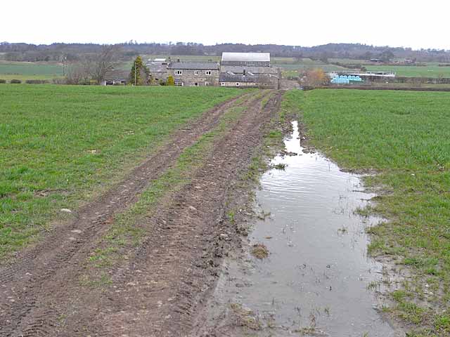
Image: © Oliver Dixon Taken: 8 Apr 2010
Farm on the A696 trunk road from Newcastle to Jedburgh (the road itself cannot be seen but lies this side of the farm). The track in the foreground is a bridleway cutting the corner between the B6309 and the A696.
Images are licensed for reuse under creativecommons.org/licenses/by-sa/2.0
Image Location
Latitude
55.10938
Longitude
-1.864853