Uplowman: leat approaching Uplowman Cross
Introduction
The photograph on this page of Uplowman: leat approaching Uplowman Cross by Martin Bodman as part of the Geograph project.
The Geograph project started in 2005 with the aim of publishing, organising and preserving representative images for every square kilometre of Great Britain, Ireland and the Isle of Man.

There are currently over 7.5m images from over 14,400 individuals and you can help contribute to the project by visiting https://www.geograph.org.uk
Uplowman: leat approaching Uplowman Cross
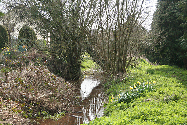
Image: © Martin Bodman Taken: 10 Apr 2010
The leat which still runs to the site of Sampford Peverell Mill, a good mile away
Images are licensed for reuse under creativecommons.org/licenses/by-sa/2.0
Image Location
Latitude
50.928449
Longitude
-3.40252