Dorchester: High East Street
Introduction
The photograph on this page of Dorchester: High East Street by Chris Downer as part of the Geograph project.
The Geograph project started in 2005 with the aim of publishing, organising and preserving representative images for every square kilometre of Great Britain, Ireland and the Isle of Man.

There are currently over 7.5m images from over 14,400 individuals and you can help contribute to the project by visiting https://www.geograph.org.uk
Dorchester: High East Street
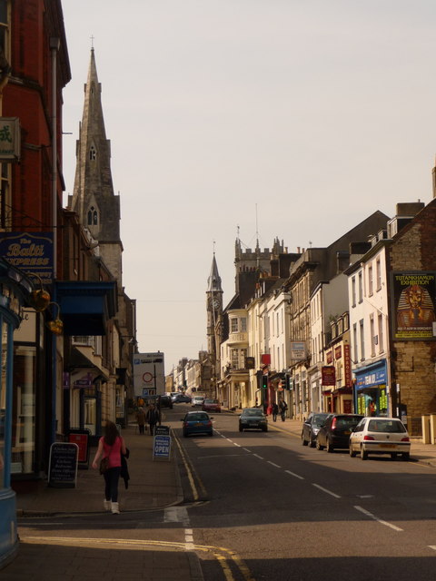
Image: © Chris Downer Taken: 10 Apr 2010
A classic view on the approach to the town centre from the east, ascending High East Street. The prominent spires belong to the Image (left) and Image (right).
Images are licensed for reuse under creativecommons.org/licenses/by-sa/2.0
Image Location


Leaflet Map data © OpenStreetMap
Latitude
50.715479
Longitude
-2.434368