Eastern entrance to Dawson Close underpass
Introduction
The photograph on this page of Eastern entrance to Dawson Close underpass by Jaggery as part of the Geograph project.
The Geograph project started in 2005 with the aim of publishing, organising and preserving representative images for every square kilometre of Great Britain, Ireland and the Isle of Man.

There are currently over 7.5m images from over 14,400 individuals and you can help contribute to the project by visiting https://www.geograph.org.uk
Eastern entrance to Dawson Close underpass
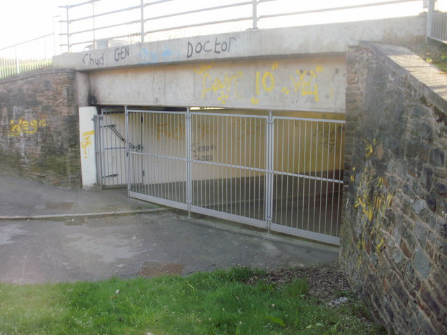
Image: © Jaggery Taken: 9 Apr 2010
From a distance, the underpass under Ringland Way appeared to be closed, but a pedestrian gate is open. The local graffitists have been busy... The view from the other side of the underpass. http://www.geograph.org.uk/photo/1798257
Images are licensed for reuse under creativecommons.org/licenses/by-sa/2.0
Image Location
Latitude
51.593507
Longitude
-2.923847