Eastern access path to Dawson Close underpass, Newport
Introduction
The photograph on this page of Eastern access path to Dawson Close underpass, Newport by Jaggery as part of the Geograph project.
The Geograph project started in 2005 with the aim of publishing, organising and preserving representative images for every square kilometre of Great Britain, Ireland and the Isle of Man.

There are currently over 7.5m images from over 14,400 individuals and you can help contribute to the project by visiting https://www.geograph.org.uk
Eastern access path to Dawson Close underpass, Newport
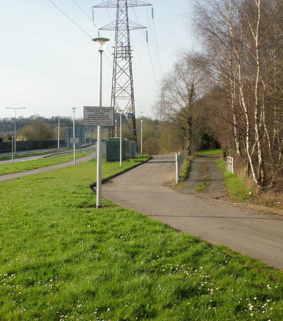
Image: © Jaggery Taken: 9 Apr 2010
The sign on the left of the path warns that the underpass (beneath Ringland Way) is closed every night from 7pm to 7.30am.
Images are licensed for reuse under creativecommons.org/licenses/by-sa/2.0
Image Location
Latitude
51.593507
Longitude
-2.923847