Church Lane, Charlton Marshall
Introduction
The photograph on this page of Church Lane, Charlton Marshall by Peter Kazmierczak as part of the Geograph project.
The Geograph project started in 2005 with the aim of publishing, organising and preserving representative images for every square kilometre of Great Britain, Ireland and the Isle of Man.

There are currently over 7.5m images from over 14,400 individuals and you can help contribute to the project by visiting https://www.geograph.org.uk
Church Lane, Charlton Marshall
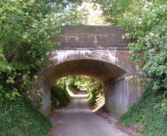
Image: © Peter Kazmierczak Taken: 16 Sep 2009
This disused railway bridge, still in very good condition despite not having seen a train in some 40 years, once carried the Somerset and Dorset line over Church Lane.
Images are licensed for reuse under creativecommons.org/licenses/by-sa/2.0
Image Location
Latitude
50.834091
Longitude
-2.145216