Path near Greenland Farm
Introduction
The photograph on this page of Path near Greenland Farm by Lairich Rig as part of the Geograph project.
The Geograph project started in 2005 with the aim of publishing, organising and preserving representative images for every square kilometre of Great Britain, Ireland and the Isle of Man.

There are currently over 7.5m images from over 14,400 individuals and you can help contribute to the project by visiting https://www.geograph.org.uk
Path near Greenland Farm
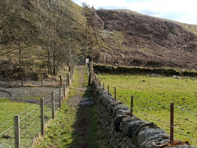
Image: © Lairich Rig Taken: 2 Apr 2010
Following on directly from Image, this is the southern end of the fenced-in footpath that is referred to in the end-note. Just ahead, it meets a road that leads from Greenland Farm and the adjacent landfill site. For a view of the junction of the footpath and the road, see Image For a view back along this path from beside the gate, see Image
Images are licensed for reuse under creativecommons.org/licenses/by-sa/2.0
Image Location
Latitude
55.94196
Longitude
-4.511197