Eglwys y Bugail Da, Llanrwst (Church of the Good Shepherd)
Introduction
The photograph on this page of Eglwys y Bugail Da, Llanrwst (Church of the Good Shepherd) by Eirian Evans as part of the Geograph project.
The Geograph project started in 2005 with the aim of publishing, organising and preserving representative images for every square kilometre of Great Britain, Ireland and the Isle of Man.

There are currently over 7.5m images from over 14,400 individuals and you can help contribute to the project by visiting https://www.geograph.org.uk
Eglwys y Bugail Da, Llanrwst (Church of the Good Shepherd)
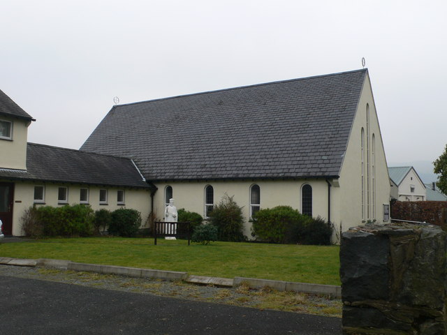
Image: © Eirian Evans Taken: 18 Feb 2010
Catholic church on Llanddoget Road, Llanrwst
Images are licensed for reuse under creativecommons.org/licenses/by-sa/2.0
Image Location
Latitude
53.141132
Longitude
-3.796186