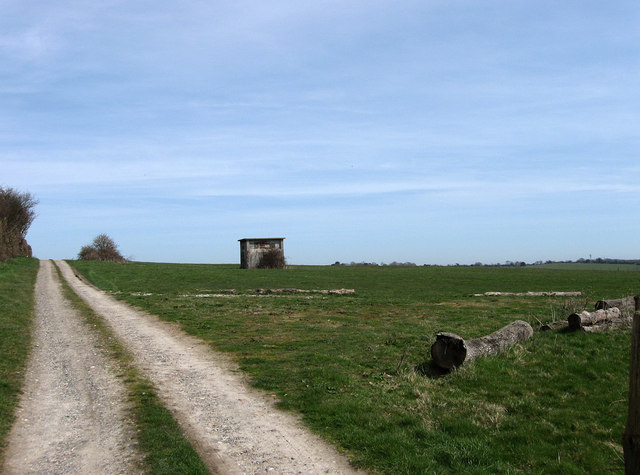
Emergency Exit, RAF Wartling
Introduction
The photograph on this page of Emergency Exit, RAF Wartling by Simon Carey as part of the Geograph project.
The Geograph project started in 2005 with the aim of publishing, organising and preserving representative images for every square kilometre of Great Britain, Ireland and the Isle of Man.
There are currently over 7.5m images from over 14,400 individuals and you can help contribute to the project by visiting https://www.geograph.org.uk

Image: © Simon Carey Taken: 6 Apr 2010
The hill top to the south of Wartling contains an underground bunker belonging to the former RAF Wartling a GCI Rotor Radar Station. Opened in 1955 it replaced an earlier station from 1941 on the marshes. The site remained operational until 1964 when technological advances rendered it redundant and it was placed on care and maintenance status. This lasted until 1970 when the MOD sold the buildings and the land with both Radar House the original entrance to the complex and the former guard house being converted to residences. The building in view is the emergency exit from the bunker and is now the only way in. Occasional visits from Subbrit are allowed particularly as that organisation helped pump out large amounts of water in 2004 and in fact had descended a couple of days before, the images from below being available here, http://www.derelictplaces.co.uk/main/showthread.php?t=14907

