The Heel
Introduction
The photograph on this page of The Heel by Simon Carey as part of the Geograph project.
The Geograph project started in 2005 with the aim of publishing, organising and preserving representative images for every square kilometre of Great Britain, Ireland and the Isle of Man.

There are currently over 7.5m images from over 14,400 individuals and you can help contribute to the project by visiting https://www.geograph.org.uk
The Heel
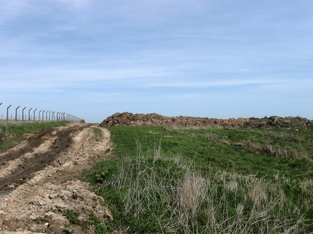
Image: © Simon Carey Taken: 6 Apr 2010
The name of the field according to the 1839 tithe map. Not much remains of the original field as it has been enlarged to include other fields to the south as well as losing much of its area on the hill top to the former RAF Wartling radar station whose perimeter fence still exists. A large manure heap is in view big enough to conceal a tractor and trailer which is behind it adding to the heap.
Images are licensed for reuse under creativecommons.org/licenses/by-sa/2.0
Image Location
Latitude
50.852763
Longitude
0.360205