The Donaghadee Road, near Groomsport
Introduction
The photograph on this page of The Donaghadee Road, near Groomsport by Albert Bridge as part of the Geograph project.
The Geograph project started in 2005 with the aim of publishing, organising and preserving representative images for every square kilometre of Great Britain, Ireland and the Isle of Man.

There are currently over 7.5m images from over 14,400 individuals and you can help contribute to the project by visiting https://www.geograph.org.uk
The Donaghadee Road, near Groomsport
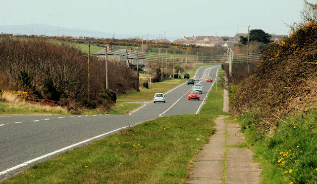
Image: © Albert Bridge Taken: 9 Apr 2010
A straight section of the Donaghadee – Bangor road, looking towards Bangor, near Orlock. Groomsport is at top right.
Images are licensed for reuse under creativecommons.org/licenses/by-sa/2.0
Image Location
Latitude
54.671587
Longitude
-5.58801