Carshalton: River Wandle
Introduction
The photograph on this page of Carshalton: River Wandle by Dr Neil Clifton as part of the Geograph project.
The Geograph project started in 2005 with the aim of publishing, organising and preserving representative images for every square kilometre of Great Britain, Ireland and the Isle of Man.

There are currently over 7.5m images from over 14,400 individuals and you can help contribute to the project by visiting https://www.geograph.org.uk
Carshalton: River Wandle
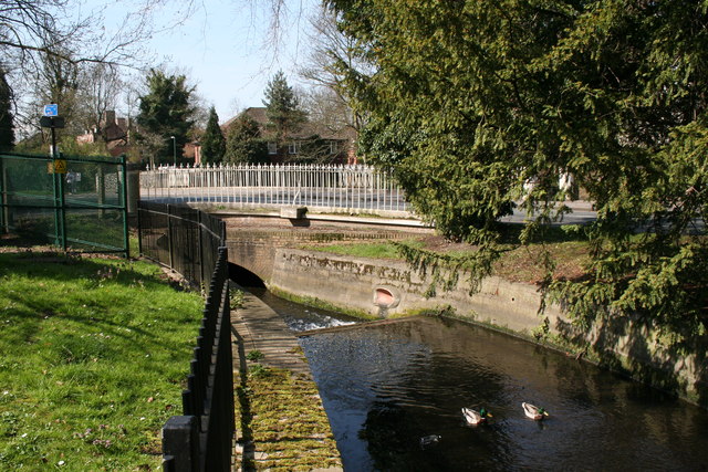
Image: © Dr Neil Clifton Taken: 9 Apr 2010
Flowing west, the River Wandle reaches London Road, where it disappears under the road into a low culvert-like bridge. The road is part of the A237.
Images are licensed for reuse under creativecommons.org/licenses/by-sa/2.0
Image Location
Latitude
51.371091
Longitude
-0.151738