The Groomsport bypass
Introduction
The photograph on this page of The Groomsport bypass by Albert Bridge as part of the Geograph project.
The Geograph project started in 2005 with the aim of publishing, organising and preserving representative images for every square kilometre of Great Britain, Ireland and the Isle of Man.

There are currently over 7.5m images from over 14,400 individuals and you can help contribute to the project by visiting https://www.geograph.org.uk
The Groomsport bypass
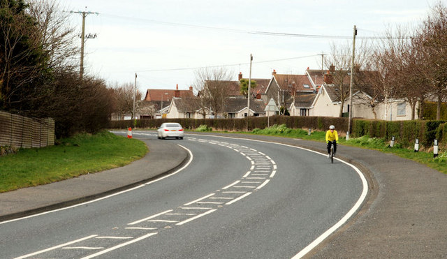
Image: © Albert Bridge Taken: 9 Apr 2010
Just under a mile long, the Groomsport bypass runs from the end of the Bangor ring road to the Donaghadee Road Image Not the world’s busiest road but it does take traffic away from the Main Street Image
Images are licensed for reuse under creativecommons.org/licenses/by-sa/2.0
Image Location
Latitude
54.672776
Longitude
-5.616312