New houses at Inverkip
Introduction
The photograph on this page of New houses at Inverkip by Thomas Nugent as part of the Geograph project.
The Geograph project started in 2005 with the aim of publishing, organising and preserving representative images for every square kilometre of Great Britain, Ireland and the Isle of Man.

There are currently over 7.5m images from over 14,400 individuals and you can help contribute to the project by visiting https://www.geograph.org.uk
New houses at Inverkip
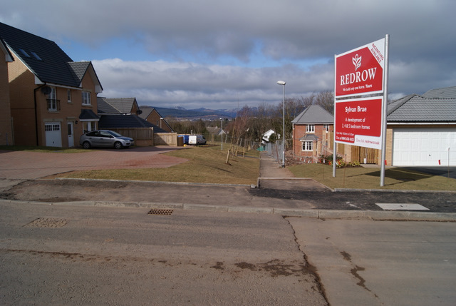
Image: © Thomas Nugent Taken: 13 Mar 2010
The houses on the right are built on what was the garden of Inverkip House, which stood behind the trees, on the other side of the railway line. The footpath leading away from the photographer follows the line of an old footpath which ran through the field to the railway footbridge to Beatock Place.
Images are licensed for reuse under creativecommons.org/licenses/by-sa/2.0
Image Location
Latitude
55.905059
Longitude
-4.867228