St Walburge's church
Introduction
The photograph on this page of St Walburge's church by Tony Mercer as part of the Geograph project.
The Geograph project started in 2005 with the aim of publishing, organising and preserving representative images for every square kilometre of Great Britain, Ireland and the Isle of Man.

There are currently over 7.5m images from over 14,400 individuals and you can help contribute to the project by visiting https://www.geograph.org.uk
St Walburge's church
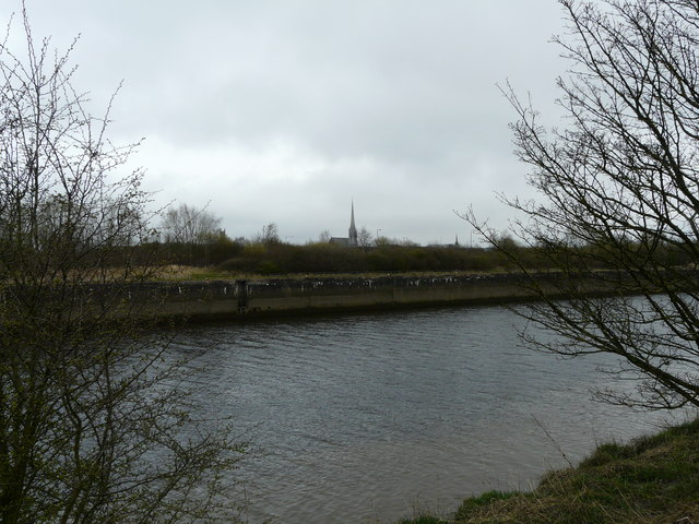
Image: © Tony Mercer Taken: 8 Apr 2010
The church in the centre, viewed from the River Ribble. Also in the view is the steeple of St Mark's to the left, and the spire of St. Peter's to the right.
Images are licensed for reuse under creativecommons.org/licenses/by-sa/2.0
Image Location
Latitude
53.763042
Longitude
-2.71565