Path east from Henllys Way, Coed Eva, Cwmbran
Introduction
The photograph on this page of Path east from Henllys Way, Coed Eva, Cwmbran by Jaggery as part of the Geograph project.
The Geograph project started in 2005 with the aim of publishing, organising and preserving representative images for every square kilometre of Great Britain, Ireland and the Isle of Man.

There are currently over 7.5m images from over 14,400 individuals and you can help contribute to the project by visiting https://www.geograph.org.uk
Path east from Henllys Way, Coed Eva, Cwmbran
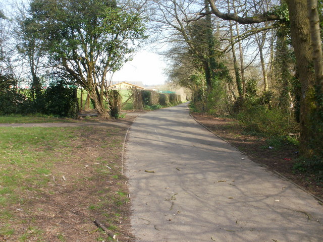
Image: © Jaggery Taken: 8 Apr 2010
A path heads away from Henllys Way, between the perimeter of Hollybush Primary School and a small wood.
Images are licensed for reuse under creativecommons.org/licenses/by-sa/2.0
Image Location
Latitude
51.641074
Longitude
-3.041869