Coombelake
Introduction
The photograph on this page of Coombelake by Derek Harper as part of the Geograph project.
The Geograph project started in 2005 with the aim of publishing, organising and preserving representative images for every square kilometre of Great Britain, Ireland and the Isle of Man.

There are currently over 7.5m images from over 14,400 individuals and you can help contribute to the project by visiting https://www.geograph.org.uk
Coombelake
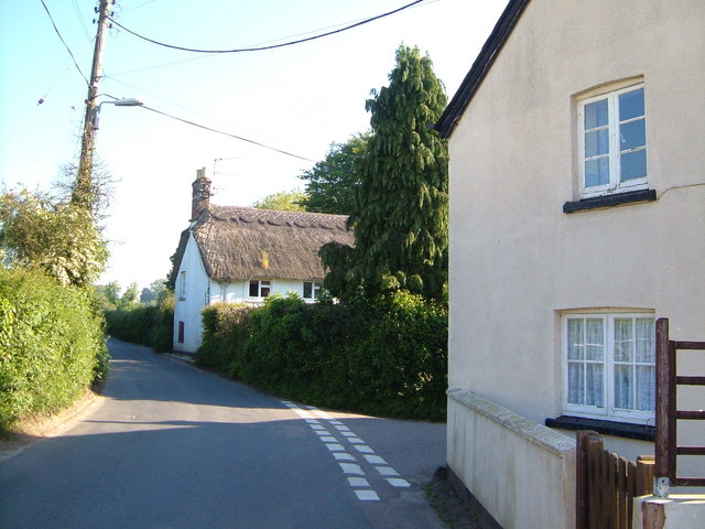
Image: © Derek Harper Taken: 2 Jun 2006
Cottages of the hamlet of Coombelake, south of Fairmile; the road to the right goes to Taleford.
Images are licensed for reuse under creativecommons.org/licenses/by-sa/2.0
Image Location
Latitude
50.763598
Longitude
-3.294498