Chevithorne : Country Road Junction
Introduction
The photograph on this page of Chevithorne : Country Road Junction by Lewis Clarke as part of the Geograph project.
The Geograph project started in 2005 with the aim of publishing, organising and preserving representative images for every square kilometre of Great Britain, Ireland and the Isle of Man.

There are currently over 7.5m images from over 14,400 individuals and you can help contribute to the project by visiting https://www.geograph.org.uk
Chevithorne : Country Road Junction
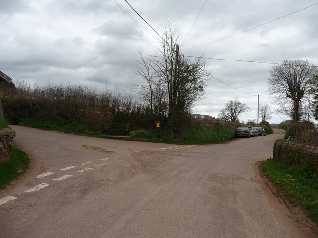
Image: © Lewis Clarke Taken: 5 Apr 2010
One road leads out to East Mere and if you turn left here you get taken up over the hills towards Bampton.
Images are licensed for reuse under creativecommons.org/licenses/by-sa/2.0
Image Location
Latitude
50.929118
Longitude
-3.458037